Geolocate

Gulf Highlands topographic map

Click on the map to display elevation.

About this map

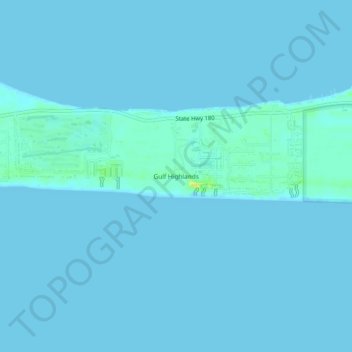
Name: Gulf Highlands topographic map, elevation, terrain.

Location: Gulf Highlands, Baldwin County, Alabama, United States (30.21131 -87.89971 30.25131 -87.85971)

Average elevation: 2 m

Minimum elevation: 0 m

Maximum elevation: 22 m

Gear up for your next adventure:

🛰️Satellite Messenger - Emergency communication for areas with no cell service
🧤Thermal Hiking Gloves - Grip-enhanced gloves for cold-weather altitude trekking
💧Hydration Pack - Hands-free hydration system for long hikes
🕯️Camping Lantern - Illuminates your entire campsite with high-efficiency LEDs
Backpacking Tent - Lightweight tent for long-distance hiking trips

As an Amazon Associate, this site earns from qualifying purchases at no extra cost to you.