
Cư Kuin topographic map
Interactive map
Click on the map to display elevation.
About this map
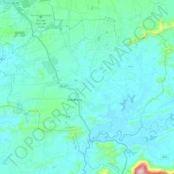
Name: Cư Kuin topographic map, elevation, terrain.
Location: Cư Kuin, Province de Đắk Lắk, 02623, Viêt Nam (12.49120 108.06045 12.66440 108.28580)
Average elevation: 491 m
Minimum elevation: 414 m
Maximum elevation: 1,141 m