
Make a donation
Gear up for your next adventure:
As an Amazon Associate, this site earns from qualifying purchases at no extra cost to you.
Lähden topographic map
Click on the map to display elevation.
Make a donation
Gear up for your next adventure:
As an Amazon Associate, this site earns from qualifying purchases at no extra cost to you.
Lähden
Am 1. Februar 1971 kam es zur Eingliederung der Gemeinden Holte-Lastrup, Ahmsen, Herßum und Vinnen in die Gemeinde Lähden. Zuvor gab es einen erbitterten Kampf um den Schulstandort, den Namen und den Sitz der Gemeinde. Der Schulzweckverband setzte sich für Holte-Lastrup als geschichtlich gewachsener Mittelpunkt und Sitz der Pfarrkirche ein. Lähden verwies auf seine größere Fläche, seine höhere Einwohnerzahl und seinen gewerblichen Schwerpunkt.
Make a donation
Gear up for your next adventure:
As an Amazon Associate, this site earns from qualifying purchases at no extra cost to you.
About this map
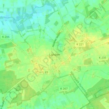
Name: Lähden topographic map, elevation, terrain.
Average elevation: 30 m
Minimum elevation: 20 m
Maximum elevation: 39 m
Make a donation
Gear up for your next adventure:
As an Amazon Associate, this site earns from qualifying purchases at no extra cost to you.