
Sørreisa topographic map
Interactive map
Click on the map to display elevation.
About this map
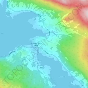
Name: Sørreisa topographic map, elevation, terrain.
Location: Sørreisa, Troms og Finnmark, 9310, Norvège (69.12553 18.14324 69.16553 18.18324)
Average elevation: 75 m
Minimum elevation: -1 m
Maximum elevation: 382 m