Geolocate

SeaTac topographic map

Click on the map to display elevation.

About this map

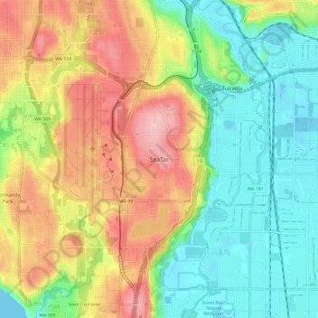
Name: SeaTac topographic map, elevation, terrain.

Location: SeaTac, King County, Washington, 98188, United States (47.40491 -122.32308 47.48491 -122.24308)

Average elevation: 65 m

Minimum elevation: 0 m

Maximum elevation: 157 m

Gear up for your next adventure:

🔨Vehicle Emergency Tool - Safety tool for remote road trips to trailheads
🧴First Aid Kit - Essential first aid supplies for outdoor emergencies
🥫Freeze-Dried Meals - Lightweight, high-calorie nutrition for multi-day treks
🛌Down Sleeping Bag - Superior warmth-to-weight ratio for cold nights
🥾Lightweight Hiking Shoes - Comfortable shoes for day hikes

As an Amazon Associate, this site earns from qualifying purchases at no extra cost to you.