Geolocate

Batasan topographic map

Click on the map to display elevation.

About this map

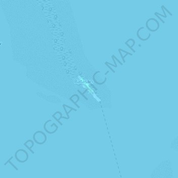
Name: Batasan topographic map, elevation, terrain.

Location: Batasan, Bohol, Central Visayas, Philippines (9.99418 123.96895 10.03418 124.00895)

Average elevation: 0 m

Minimum elevation: -1 m

Maximum elevation: 1 m

Gear up for your next adventure:

🧼Travel Hand Sanitizer - Keep hands clean when water is scarce
🚑Survival Whistle - Signal for help across long distances in mountains
🥽Outdoor Goggles - Protective eyewear for outdoor activities
🏃Hydration Running Vest - Carry water and maps close to your body for speed
🛶Canoe Life Vest - Safety vest for water sports

As an Amazon Associate, this site earns from qualifying purchases at no extra cost to you.