
Akdamar Island topographic map
Interactive map
Click on the map to display elevation.
About this map
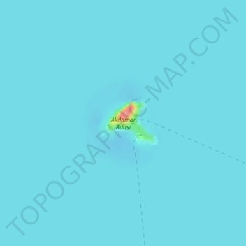
Name: Akdamar Island topographic map, elevation, terrain.
Location: Akdamar Island, Van, Eastern Anatolia Region, Turkey (38.33917 43.03210 38.34408 43.03946)
Average elevation: 1,645 m
Minimum elevation: 1,641 m
Maximum elevation: 1,727 m
Other topographic maps
Click on a map to view its topography, its elevation and its terrain.
Van
Turkey > Eastern Anatolia Region > Van > Tuşba
Van, Tuşba, Van, Eastern Anatolia Region, 65210, Turkey
Average elevation: 1,892 m