Geolocate

Beluru topographic map

Click on the map to display elevation.

About this map

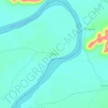
Name: Beluru topographic map, elevation, terrain.

Location: Beluru, Ranebennuru taluk, Haveri district, Karnataka, India (14.69991 75.73486 14.73991 75.77486)

Average elevation: 529 m

Minimum elevation: 507 m

Maximum elevation: 651 m

Gear up for your next adventure:

Lightweight Backpacking Tent - Compact tent for efficient hiking trips
👟Leg Gaiters - Keep debris, mud, and snow out of your boots
👟Sport Hiking Sandals - Breathable footwear for water crossings and camp rest
🔭Compact Binoculars - Lightweight optics for scouting trails and wildlife
🧢Sun Hat - Wide-brim hat for sun protection

As an Amazon Associate, this site earns from qualifying purchases at no extra cost to you.