
Serang topographic map
Interactive map
Click on the map to display elevation.
About this map
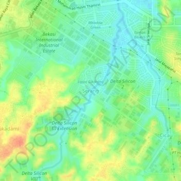
Name: Serang topographic map, elevation, terrain.
Location: Serang, Kabupaten Bekasi, Java occidental, 17550, Indonésie (-6.37111 107.12086 -6.33111 107.16086)
Average elevation: 43 m
Minimum elevation: 26 m
Maximum elevation: 68 m