Paramo de Santurbán topographic map
Interactive map
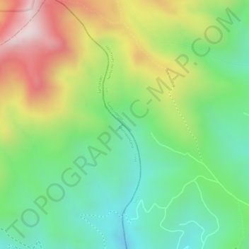
Click on the map to display elevation.
About this map
Name: Paramo de Santurbán topographic map, elevation, terrain.
Average elevation: 3,669 m
Minimum elevation: 3,443 m
Maximum elevation: 3,987 m

Click on the map to display elevation.
Name: Paramo de Santurbán topographic map, elevation, terrain.
Average elevation: 3,669 m
Minimum elevation: 3,443 m
Maximum elevation: 3,987 m