
okres Poprad topographic map
Interactive map
Click on the map to display elevation.
About this map
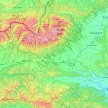
Name: okres Poprad topographic map, elevation, terrain.
Location: okres Poprad, Région de Prešov, Slovaquie orientale, Slovaquie (48.87101 19.88393 49.32803 20.45726)
Average elevation: 1,007 m
Minimum elevation: 465 m
Maximum elevation: 2,611 m