Geolocate

Vergel topographic map

Click on the map to display elevation.

About this map

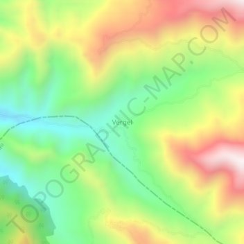
Name: Vergel topographic map, elevation, terrain.

Location: Vergel, La Llanada, Guambuyaco, Nariño, Pacífica, Colombia (1.51151 -77.66144 1.55151 -77.62144)

Average elevation: 1,961 m

Minimum elevation: 1,569 m

Maximum elevation: 2,477 m

Gear up for your next adventure:

🕯️Camping Lantern - Illuminates your entire campsite with high-efficiency LEDs
🪑Insulated Seat Pad - Protect your seat from cold rocks and wet logs
🧦Hiking Socks - Moisture-wicking and comfortable socks for long hikes
🧥Packable Rain Jacket - Breathable waterproof layer for unpredictable weather
🔦LED Flashlight - Powerful and long-lasting flashlight for camping and emergencies

As an Amazon Associate, this site earns from qualifying purchases at no extra cost to you.