Geolocate

Ocrabamba topographic map

Click on the map to display elevation.

About this map

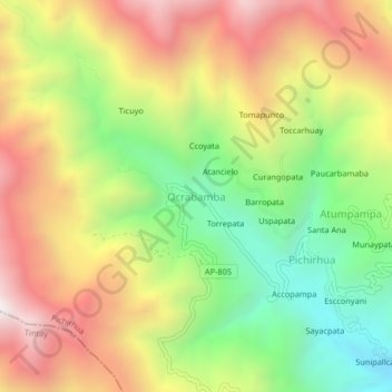
Name: Ocrabamba topographic map, elevation, terrain.

Location: Ocrabamba, Pichirhua, Provincia de Abancay, Apurímac, Perú (-13.87473 -73.10557 -13.83473 -73.06557)

Average elevation: 3,181 m

Minimum elevation: 2,519 m

Maximum elevation: 3,891 m

Gear up for your next adventure:

🧭GPS Handheld Device - Reliable GPS navigation for outdoor adventures
🧢Beanie Hat - Keep your head warm in cold weather
🥾Trail Hiking Boots - Supportive boots for rough trails
🧦Crew Hiking Socks - Comfortable socks for long-distance hikes
🥾Lightweight Hiking Boots - Boots for comfort and mobility on long hikes

As an Amazon Associate, this site earns from qualifying purchases at no extra cost to you.