
Darling topographic map
Click on the map to display elevation.
About this map
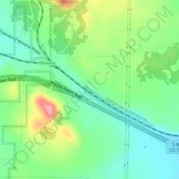
Name: Darling topographic map, elevation, terrain.
Location: Darling, Coconino County, Arizona, United States (35.19097 -111.41039 35.21097 -111.39039)
Average elevation: 1,916 m
Minimum elevation: 1,873 m
Maximum elevation: 1,998 m
Other topographic maps
Click on a map to view its topography, its elevation and its terrain.
Kachina Village
United States > Arizona > Coconino County > Kachina Village
Average elevation: 2,076 m
Page
United States > Arizona > Coconino County
Unlike other cities in the area, Page was founded in 1957 as a housing community for workers and their families during the construction of nearby Glen Canyon Dam on the Colorado River. Its 17-square-mile (44 km2) site was obtained in a land exchange with the Navajo Nation. The city is perched atop Manson Mesa…
Average elevation: 1,225 m