
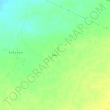
Allah topographic map
Interactive map
Click on the map to display elevation.
About this map
Name: Allah topographic map, elevation, terrain.
Location: Allah, Aguié, Maradi Region, Niger (13.49238 7.58735 13.53238 7.62735)
Average elevation: 434 m
Minimum elevation: 422 m
Maximum elevation: 444 m