
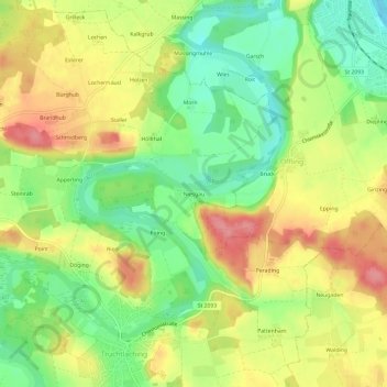
Niesgau topographic map
Interactive map
Click on the map to display elevation.
About this map
Name: Niesgau topographic map, elevation, terrain.
Average elevation: 534 m
Minimum elevation: 490 m
Maximum elevation: 580 m
Other topographic maps
Click on a map to view its topography, its elevation and its terrain.
Seeon
Deutschland > Bayern > Landkreis Traunstein > Seeon-Seebruck
Seeon, Seeon-Seebruck, Landkreis Traunstein, Bayern, 83370, Deutschland
Average elevation: 544 m
Seebruck
Deutschland > Bayern > Landkreis Traunstein > Seeon-Seebruck > Seebruck
Seebruck, Seeon-Seebruck, Landkreis Traunstein, Bayern, 83358, Deutschland
Average elevation: 524 m
Truchtlaching
Deutschland > Bayern > Landkreis Traunstein > Seeon-Seebruck
Truchtlaching, Seeon-Seebruck, Landkreis Traunstein, Bayern, 83376, Deutschland
Average elevation: 533 m