Geolocate

Betul topographic map

Click on the map to display elevation.

About this map

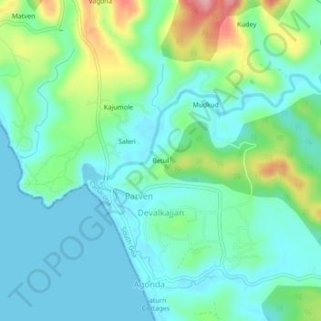
Name: Betul topographic map, elevation, terrain.

Location: Betul, Parven, Canacona, South Goa, Goa, 503702, India (15.03649 73.96970 15.07649 74.00970)

Average elevation: 37 m

Minimum elevation: -1 m

Maximum elevation: 143 m

Gear up for your next adventure:

🥾Hiking Shoes - Durable and comfortable shoes for trail hiking
❄️Traction Ice Cleats - Slip-on spikes for icy trails and winter hiking
🛶Kayak Accessories - Essential gear for safe and fun kayaking adventures
🥾Light Hiking Boots - Lightweight and comfortable boots for day hikes
🧢Beanie Hat - Keep your head warm in cold weather

As an Amazon Associate, this site earns from qualifying purchases at no extra cost to you.