Geolocate

San Fernando topographic map

Click on the map to display elevation.

About this map

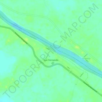
Name: San Fernando topographic map, elevation, terrain.

Location: San Fernando, Isla de Mompós, Bolívar, RAP Caribe, Colombia (9.20544 -74.34075 9.22391 -74.31141)

Average elevation: 21 m

Minimum elevation: 13 m

Maximum elevation: 28 m

Gear up for your next adventure:

🥾All-Terrain Hiking Boots - Versatile boots for varied hiking conditions
🧥Thermal Fleece Jacket - Versatile insulation for changing mountain temperatures
🔋Solar Power Bank - Keep your GPS and devices charged during long outdoor trips
🔦UV Flashlight - Detect minerals or specific insects in the dark
🥽Outdoor Goggles - Protective eyewear for outdoor activities

As an Amazon Associate, this site earns from qualifying purchases at no extra cost to you.