Geolocate

Fairfield topographic map

Click on the map to display elevation.

About this map

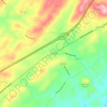
Name: Fairfield topographic map, elevation, terrain.

Location: Fairfield, Rockbridge County, Virginia, 24435, United States (37.85930 -79.30948 37.89930 -79.26948)

Average elevation: 509 m

Minimum elevation: 421 m

Maximum elevation: 608 m

Other topographic maps

Click on a map to view its topography, its elevation and its terrain.

Glasgow

United States > Virginia > Rockbridge County

Average elevation: 284 m

Hays Creek

United States > Virginia > Rockbridge County

Average elevation: 438 m

Goshen

United States > Virginia > Rockbridge County

Average elevation: 472 m

Gear up for your next adventure:

👟Sport Hiking Sandals - Breathable footwear for water crossings and camp rest
🎒Hiking Backpack - Lightweight and ergonomic backpacks for day hikes or multi-day treks
🌬️Windproof Camp Stove - Efficient cooking even on exposed mountain peaks
🧥Waterproof Hiking Jacket - Protect yourself from rain and wind while hiking
🧶550 Survival Paracord - Versatile utility cord for emergency repairs and rigging

As an Amazon Associate, this site earns from qualifying purchases at no extra cost to you.