Geolocate

Stella topographic map

Click on the map to display elevation.

About this map

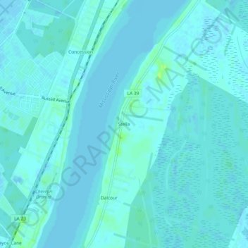
Name: Stella topographic map, elevation, terrain.

Location: Stella, Plaquemines Parish, Louisiana, 70037, United States (29.79937 -90.01590 29.83937 -89.97590)

Average elevation: 2 m

Minimum elevation: -1 m

Maximum elevation: 12 m

Gear up for your next adventure:

🥾Hiking Gaiters - Protect legs and shoes from mud, snow, and debris
🔥Emergency Fire Starter - Reliable ignition source for all weather conditions
🚲Handlebar Phone Mount - View topographic-map.com live while cycling
🧥Insulated Jacket - Keep warm in cold outdoor conditions
🚑Survival Whistle - Signal for help across long distances in mountains

As an Amazon Associate, this site earns from qualifying purchases at no extra cost to you.