Geolocate

Waldesch topographic map

Click on the map to display elevation.

Waldesch

Die alte Römerstraße von Koblenz nach Trier, der die heutige Hunsrückhöhenstraße (B 327) auf langen Wegstücken folgt, führt direkt am Ort vorbei.

About this map

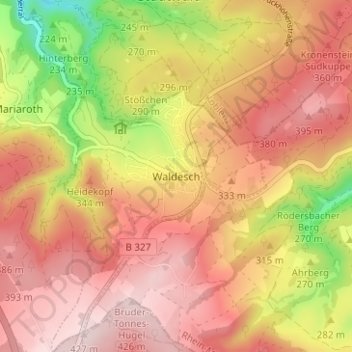
Name: Waldesch topographic map, elevation, terrain.

Location: Waldesch, Rhein-Mosel, Landkreis Mayen-Koblenz, Rheinland-Pfalz, 56323, Deutschland (50.25948 7.52517 50.29948 7.56517)

Average elevation: 312 m

Minimum elevation: 122 m

Maximum elevation: 428 m

Gear up for your next adventure:

🧦Hiking Liner Socks - Thin base layer to prevent friction and blisters
🔋Emergency Crank Radio - Weather alerts and power without needing batteries
🪜Heavy Duty Carabiners - Multi-use clips for securing gear to your backpack
🪑Insulated Seat Pad - Protect your seat from cold rocks and wet logs
🥾Mountain Trail Shoes - High-traction shoes for mountain trails

As an Amazon Associate, this site earns from qualifying purchases at no extra cost to you.