Geolocate

Lindsay topographic map

Click on the map to display elevation.

About this map

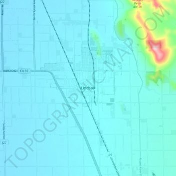
Name: Lindsay topographic map, elevation, terrain.

Location: Lindsay, Tulare County, California, 93247, United States (36.16301 -119.12816 36.24301 -119.04816)

Average elevation: 131 m

Minimum elevation: 104 m

Maximum elevation: 417 m

Gear up for your next adventure:

Family Camping Tent - Spacious tent suitable for family camping trips
🎒Backpack Rain Cover - External shield to keep your entire pack dry
🥾Light Hiking Boots - Lightweight and comfortable boots for day hikes
👖Convertible Hiking Pants - Zip-off legs to adapt to changing weather conditions
Camping Essentials - All-in-one gear for a comfortable camping trip

As an Amazon Associate, this site earns from qualifying purchases at no extra cost to you.