
Brüggelchen topographic map
Interactive map
Click on the map to display elevation.
About this map
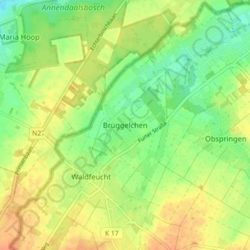
Name: Brüggelchen topographic map, elevation, terrain.
Location: Brüggelchen, Kreis Heinsberg, Nordrhein-Westfalen, Deutschland (51.05499 5.97746 51.09499 6.01746)
Average elevation: 50 m
Minimum elevation: 31 m
Maximum elevation: 67 m