
Villa de Reyes topographic map
Interactive map
Click on the map to display elevation.
About this map
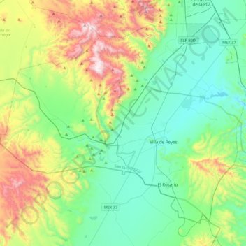
Name: Villa de Reyes topographic map, elevation, terrain.
Location: Villa de Reyes, San Luis Potosí, 79526, Mexique (21.67249 -101.21979 21.99573 -100.79018)
Average elevation: 2,071 m
Minimum elevation: 1,766 m
Maximum elevation: 2,871 m
Other topographic maps
Click on a map to view its topography, its elevation and its terrain.