
Mount Gay topographic map
Interactive map
Click on the map to display elevation.
About this map
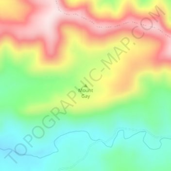
Name: Mount Gay topographic map, elevation, terrain.
Location: Mount Gay, Warwick, Queensland, 4370, Australia (-28.11672 152.23328 -28.11662 152.23338)
Average elevation: 738 m
Minimum elevation: 579 m
Maximum elevation: 938 m
Other topographic maps
Click on a map to view its topography, its elevation and its terrain.
Headington Hill
Australia > Queensland > Warwick
Headington Hill, Warwick, Queensland, 4370, Australia
Average elevation: 524 m