Geolocate

Longos topographic map

Click on the map to display elevation.

About this map

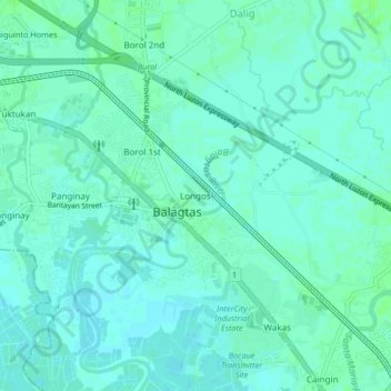
Name: Longos topographic map, elevation, terrain.

Location: Longos, Bulacan, Central Luzon, 03016, Philippines (14.79939 120.89030 14.83939 120.93030)

Average elevation: 5 m

Minimum elevation: 1 m

Maximum elevation: 9 m

Gear up for your next adventure:

💡Compact LED Flashlight - Powerful and portable flashlight for outdoor use
🧰Survival Kit - Essential gear for emergencies in the wilderness
🥾Hiking Shoes - Durable and comfortable shoes for trail hiking
🥽Outdoor Goggles - Protective eyewear for outdoor activities
🎒Hiking Daypack - Lightweight and durable backpacks for day trips and excursions

As an Amazon Associate, this site earns from qualifying purchases at no extra cost to you.