
Teúl de González Ortega topographic map
Interactive map
Click on the map to display elevation.
About this map
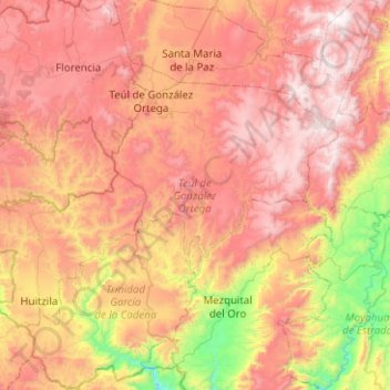
Name: Teúl de González Ortega topographic map, elevation, terrain.
Location: Teúl de González Ortega, Zacatecas, 99800, México (21.19125 -103.72219 21.50945 -103.22037)
Average elevation: 1,879 m
Minimum elevation: 975 m
Maximum elevation: 2,655 m