
Cerrillos topographic map
Click on the map to display elevation.
About this map
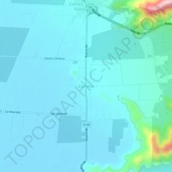
Name: Cerrillos topographic map, elevation, terrain.
Average elevation: 200 m
Minimum elevation: 169 m
Maximum elevation: 468 m
Other topographic maps
Click on a map to view its topography, its elevation and its terrain.
Humedal Urbano Estero El Puangue
Chile > Región Metropolitana de Santiago > Provincia de Melipilla > Curacaví > El Estero
Average elevation: 622 m