Geolocate

Albany topographic map

Click on the map to display elevation.

About this map

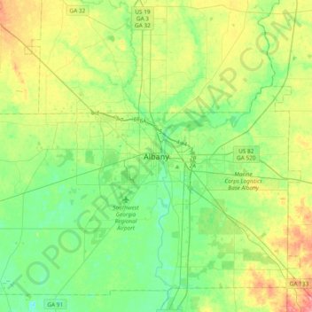
Name: Albany topographic map, elevation, terrain.

Location: Albany, Dougherty County, Georgia, 31701, United States (31.41821 -84.31568 31.73821 -83.99568)

Average elevation: 70 m

Minimum elevation: 41 m

Maximum elevation: 127 m

Gear up for your next adventure:

🧊Insulated Water Bottle - Keeps drinks cold in summer and prevents freezing in winter
🧦Thermal Socks - Warm socks for winter hiking or camping
🛁Quick-Dry Microfiber Towel - Space-saving towel that dries rapidly on the move
🧦Merino Wool Socks - Moisture-wicking comfort for long-distance hiking
🥾Mountain Hiking Boots - High-traction boots for rocky terrain

As an Amazon Associate, this site earns from qualifying purchases at no extra cost to you.