
Ahwa topographic map
Click on the map to display elevation.
About this map
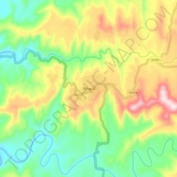
Name: Ahwa topographic map, elevation, terrain.
Location: Ahwa, Ahava Taluka, Dang, Gujarat, 394710, India (20.71873 73.64735 20.79873 73.72735)
Average elevation: 393 m
Minimum elevation: 216 m
Maximum elevation: 655 m