
Day Lake topographic map
Click on the map to display elevation.
About this map
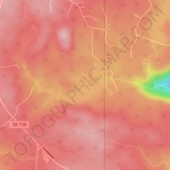
Name: Day Lake topographic map, elevation, terrain.
Location: Day Lake, Franklin County, Tennessee, United States (35.18007 -85.88799 35.18810 -85.87119)
Average elevation: 566 m
Minimum elevation: 433 m
Maximum elevation: 598 m