
Rossman Lake topographic map
Interactive map
Click on the map to display elevation.
About this map
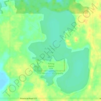
Name: Rossman Lake topographic map, elevation, terrain.
Average elevation: 646 m
Minimum elevation: 633 m
Maximum elevation: 660 m
Other topographic maps
Click on a map to view its topography, its elevation and its terrain.
Olha
Canada > Manitoba > Division No. 16 > Rossburn Municipality
Olha, Rossburn Municipality, Division No. 16, Manitoba, Canada
Average elevation: 627 m