Geolocate

Sector 65 topographic map

Interactive map

Click on the map to display elevation.

About this map

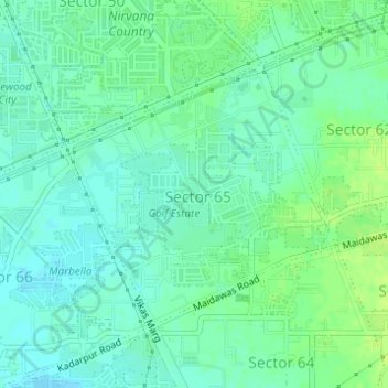
Name: Sector 65 topographic map, elevation, terrain.

Location: Sector 65, Gurgaon, Gurugram, Haryana, India (28.39400 77.05898 28.41228 77.08058)

Average elevation: 231 m

Minimum elevation: 225 m

Maximum elevation: 238 m

Other topographic maps

Click on a map to view its topography, its elevation and its terrain.

Sector 18

India > Haryana > Gurugram

Sector 18, Gurgaon, Gurugram, Haryana, India

Average elevation: 235 m

Gurgaon

India > Haryana > Gurugram

Gurgaon, Gurugram, Haryana, India

Average elevation: 237 m