
Isabella topographic map
Click on the map to display elevation.
About this map
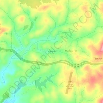
Name: Isabella topographic map, elevation, terrain.
Location: Isabella, Polk County, Tennessee, 37326, United States (35.00786 -84.37520 35.04786 -84.33520)
Average elevation: 516 m
Minimum elevation: 456 m
Maximum elevation: 589 m