
Amelscheid topographic map
Interactive map
Click on the map to display elevation.
About this map
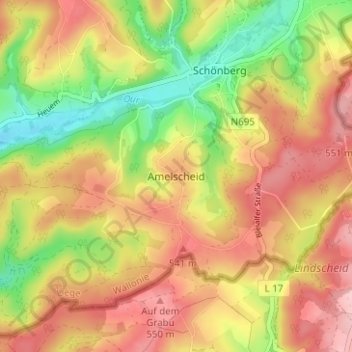
Name: Amelscheid topographic map, elevation, terrain.
Location: Amelscheid, Verviers, Luik, Wallonië, 4782, België (50.25675 6.23650 50.29675 6.27650)
Average elevation: 494 m
Minimum elevation: 405 m
Maximum elevation: 566 m