
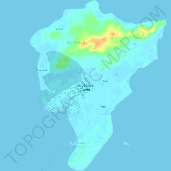
Cagbalete Island topographic map
Interactive map
Click on the map to display elevation.
About this map
Name: Cagbalete Island topographic map, elevation, terrain.
Average elevation: 3 m
Minimum elevation: -2 m
Maximum elevation: 36 m
Other topographic maps
Click on a map to view its topography, its elevation and its terrain.
Mount Banahaw
Philippines > Quezon > Tayabas
Mount Banahaw, Tayabas, Quezon, Calabarzon, 4327, Philippines
Average elevation: 1,730 m