
Puerto Angel topographic map
Interactive map
Click on the map to display elevation.
About this map
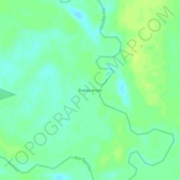
Name: Puerto Angel topographic map, elevation, terrain.
Location: Puerto Angel, Tapiche, Requena, Loreto, Perú (-5.78937 -74.04597 -5.74937 -74.00597)
Average elevation: 108 m
Minimum elevation: 101 m
Maximum elevation: 114 m