
Oosterklief topographic map
Interactive map
Click on the map to display elevation.
About this map
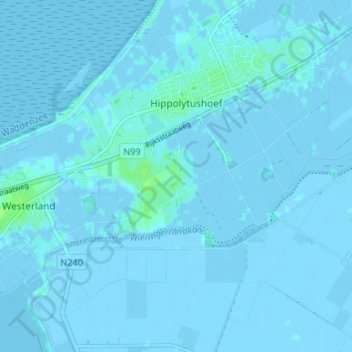
Name: Oosterklief topographic map, elevation, terrain.
Location: Oosterklief, Nordholland, Niederlande, 1777, Niederlande (52.87742 4.93892 52.91742 4.97892)
Average elevation: 0 m
Minimum elevation: -6 m
Maximum elevation: 8 m