
Mander topographic map
Interactive map
Click on the map to display elevation.
About this map
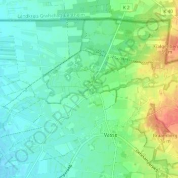
Name: Mander topographic map, elevation, terrain.
Location: Mander, Overijssel, Niederlande, 7663, Niederlande (52.42409 6.80436 52.46409 6.84436)
Average elevation: 38 m
Minimum elevation: 23 m
Maximum elevation: 74 m