Geolocate

Matuu topographic map

Click on the map to display elevation.

About this map

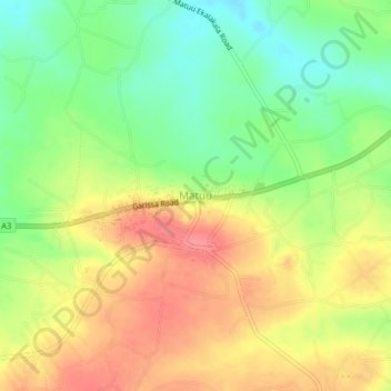
Name: Matuu topographic map, elevation, terrain.

Location: Matuu, Matuu ward, Yatta, Machakos County, Kenya (-1.16383 37.52849 -1.12383 37.56849)

Average elevation: 1,240 m

Minimum elevation: 1,201 m

Maximum elevation: 1,278 m

Gear up for your next adventure:

🥾Hiking Shoes - Durable and comfortable shoes for trail hiking
🥽Outdoor Goggles - Protective eyewear for outdoor activities
🔪Outdoor Multitool - Versatile tool for repairs and food prep in the wild
🛌Down Sleeping Bag - Superior warmth-to-weight ratio for cold nights
Tent Footprint - Protect tent floor and increase durability

As an Amazon Associate, this site earns from qualifying purchases at no extra cost to you.