Geolocate

El Carajo topographic map

Click on the map to display elevation.

About this map

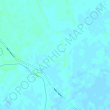
Name: El Carajo topographic map, elevation, terrain.

Location: El Carajo, Maní, Casanare, Colombia (4.85439 -72.34412 4.87439 -72.32412)

Average elevation: 182 m

Minimum elevation: 180 m

Maximum elevation: 186 m

Gear up for your next adventure:

🕯️Camping Lantern - Illuminates your entire campsite with high-efficiency LEDs
🥾Light Trekking Boots - Supportive boots for multi-day treks
🧳Compression Sacks - Maximize space in your backpack by shrinking gear
🎒Hiking Daypack - Lightweight and durable backpacks for day trips and excursions
🥾Approach Shoes - Shoes designed for climbing approaches and rugged trails

As an Amazon Associate, this site earns from qualifying purchases at no extra cost to you.