Geolocate

Jamuguri topographic map

Click on the map to display elevation.

About this map

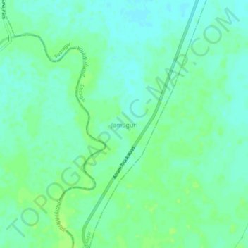
Name: Jamuguri topographic map, elevation, terrain.

Location: Jamuguri, Sibsagar, Sivasagar, Assam, 785683, India (26.85078 94.48010 26.89078 94.52010)

Average elevation: 94 m

Minimum elevation: 88 m

Maximum elevation: 99 m

Gear up for your next adventure:

🧭GPS Handheld Device - Reliable GPS navigation for outdoor adventures
🕶️Polarized Sunglasses - Reduces glare from snow and water at high elevations
🥾Trekking Poles - Adjustable trekking poles to reduce knee stress and improve stability
💡LED Camping Lantern - Illuminate your campsite with long-lasting lanterns
🔦LED Flashlight - Powerful and long-lasting flashlight for camping and emergencies

As an Amazon Associate, this site earns from qualifying purchases at no extra cost to you.