Geolocate

Chandler topographic map

Click on the map to display elevation.

About this map

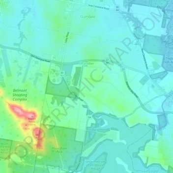
Name: Chandler topographic map, elevation, terrain.

Location: Chandler, Brisbane City, Queensland, 4155, Australia (-27.53313 153.14163 -27.50038 153.20149)

Average elevation: 31 m

Minimum elevation: 1 m

Maximum elevation: 153 m

Other topographic maps

Click on a map to view its topography, its elevation and its terrain.

Teneriffe

Australia > Queensland > Brisbane City

Average elevation: 11 m

Constitution Hill

Australia > Queensland > Brisbane City

Average elevation: 144 m

Gear up for your next adventure:

💧Hydration Pack - Hands-free hydration system for long hikes
🧴Sunscreen SPF - Broad-spectrum sunscreen for outdoor activities
🛌Down Sleeping Bag - Superior warmth-to-weight ratio for cold nights
🔥Emergency Fire Starter - Reliable ignition source for all weather conditions
👖Convertible Hiking Pants - Zip-off legs to adapt to changing weather conditions

As an Amazon Associate, this site earns from qualifying purchases at no extra cost to you.