
Bhandardara topographic map
Interactive map
Click on the map to display elevation.
About this map
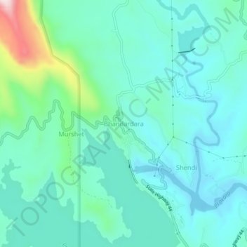
Name: Bhandardara topographic map, elevation, terrain.
Location: Bhandardara, Akola, Ahmednagar, Maharashtra, India (19.53513 73.73584 19.57513 73.77584)
Average elevation: 760 m
Minimum elevation: 670 m
Maximum elevation: 1,146 m