Geolocate

Anabanua topographic map

Click on the map to display elevation.

About this map

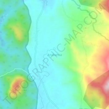
Name: Anabanua topographic map, elevation, terrain.

Location: Anabanua, Barru, South Sulawesi, Sulawesi, 90711, Indonesia (-4.49654 119.70253 -4.45654 119.74253)

Average elevation: 191 m

Minimum elevation: 86 m

Maximum elevation: 468 m

Gear up for your next adventure:

🧢Sun Protection Cap - Breathable cap to protect from sun exposure
🧴Outdoor Sunscreen - High SPF protection for high-altitude UV exposure
🧥Waterproof Jacket - Lightweight rain jackets for hiking and outdoor activities
🛌Insulated Sleeping Pad - Critical thermal barrier between you and the cold ground
🧴Waterproofing Spray - Restore the DWR coating on jackets and tents

As an Amazon Associate, this site earns from qualifying purchases at no extra cost to you.