Geolocate

Robins topographic map

Click on the map to display elevation.

About this map

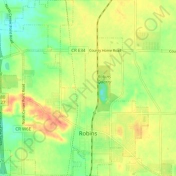
Name: Robins topographic map, elevation, terrain.

Location: Robins, Linn County, Iowa, 52328, United States (42.05869 -91.70208 42.10953 -91.64337)

Average elevation: 262 m

Minimum elevation: 239 m

Maximum elevation: 285 m

Other topographic maps

Click on a map to view its topography, its elevation and its terrain.

New Buffalo

United States > Iowa > Linn County > Cedar Rapids

Average elevation: 253 m

Lindale Manor

United States > Iowa > Linn County > Marion

Average elevation: 252 m

Covington

United States > Iowa > Linn County

Average elevation: 239 m

Paris

United States > Iowa > Linn County

Average elevation: 269 m

Gear up for your next adventure:

🚲Heavy Duty Bike Lock - Secure your bike at the trailhead or during stops
🥾Lightweight Hiking Shoes - Comfortable shoes for day hikes
🧴Waterproofing Spray - Restore the DWR coating on jackets and tents
🔥Camping Stove - Portable stoves to cook outdoors with ease
🕯️Camping Lantern - Illuminates your entire campsite with high-efficiency LEDs

As an Amazon Associate, this site earns from qualifying purchases at no extra cost to you.