
Cheverel topographic map
Interactive map
Click on the map to display elevation.
About this map
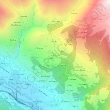
Name: Cheverel topographic map, elevation, terrain.
Location: Cheverel, La Salle, Vallée d'Aoste, 11015, Italie (45.74356 7.05077 45.78356 7.09077)
Average elevation: 1,511 m
Minimum elevation: 887 m
Maximum elevation: 2,434 m