Geolocate

Ngrambe topographic map

Click on the map to display elevation.

About this map

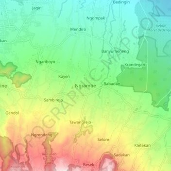
Name: Ngrambe topographic map, elevation, terrain.

Location: Ngrambe, Ngawi, East Java, Java, 63263, Indonesia (-7.54876 111.16589 -7.46876 111.24589)

Average elevation: 414 m

Minimum elevation: 174 m

Maximum elevation: 856 m

Gear up for your next adventure:

🧰Multitool Knife - Compact and versatile tool for outdoor use
🗺️Topographic Maps - Detailed maps to explore trails, mountains, and wilderness areas
🥾Hiking Shoes - Durable and comfortable shoes for trail hiking
💡Compact LED Flashlight - Powerful and portable flashlight for outdoor use
🧣Merino Neck Gaiter - Protects against wind, sun, and cold at high altitudes

As an Amazon Associate, this site earns from qualifying purchases at no extra cost to you.