Geolocate

Lehigh Acres topographic map

Click on the map to display elevation.

About this map

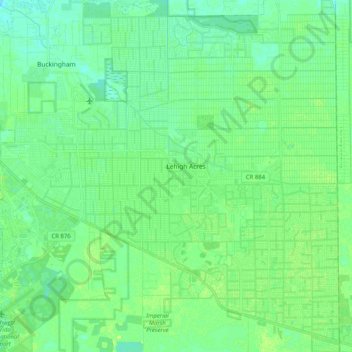
Name: Lehigh Acres topographic map, elevation, terrain.

Location: Lehigh Acres, Lee County, Florida, United States (26.51334 -81.75886 26.69466 -81.56382)

Average elevation: 9 m

Minimum elevation: 3 m

Maximum elevation: 19 m

Gear up for your next adventure:

🌡️Emergency Mylar Blankets - Compact thermal protection for unexpected nights outdoors
🥾Trail Hiking Boots - Supportive boots for rough trails
💧Reusable Water Bottle - Durable water bottles for hydration on trails
🚲Bike Repair Kit - Essential tools for on-trail mechanical issues
🎒Hiking Backpack - Lightweight and ergonomic backpacks for day hikes or multi-day treks

As an Amazon Associate, this site earns from qualifying purchases at no extra cost to you.