
South Andaman Island topographic map
Interactive map
Click on the map to display elevation.
About this map
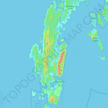
Name: South Andaman Island topographic map, elevation, terrain.
Average elevation: 13 m
Minimum elevation: -2 m
Maximum elevation: 444 m
Other topographic maps
Click on a map to view its topography, its elevation and its terrain.
South Andaman
India > Andaman and Nicobar Islands
South Andaman, Andaman and Nicobar Islands, India
Average elevation: 3 m
South Brother Island
India > Andaman and Nicobar Islands
South Brother Island, South Andaman, Andaman and Nicobar Islands, India
Average elevation: 1 m